Maps
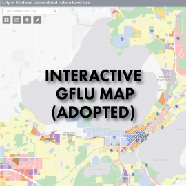
This is the interactive version of the Generalized Future Land Use (GFLU) Map which was adopted in August 2018. Click the green button below to view the map.
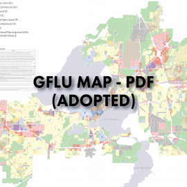
This PDF map shows the Generalized Future Land Use (GFLU) Map which was adopted in August 2018. Click the green button below to view and download the map.
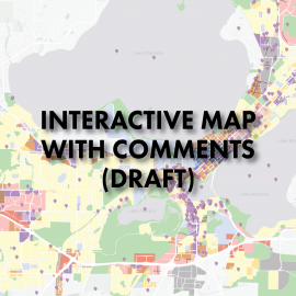
This version is from Phase 2 of Imagine Madison (April 2017).
Browse the online version of the Draft Future Land Use Map -- includes comments received from the public during 2017. This online map...
What is Density? Explore housing density and development in Madison.Click the green button below to go to the map.
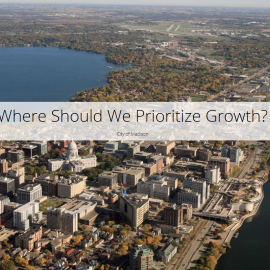
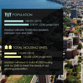
This story map series is intended to help inform discussions surrounding where the City of Madison can accommodate future housing growth. Madison is expected to need to build roughly 40,000 housing...
Upcoming Events
There are no upcoming events
Follow us:

City of Madison Planning Division
215 Martin Luther King Jr. Blvd
Suite 017 (Lower Level)
Madison, WI 53703
215 Martin Luther King Jr. Blvd
Suite 017 (Lower Level)
Madison, WI 53703