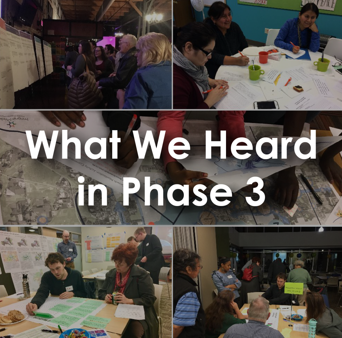
What We Heard
Phase 3 of Imagine Madison is in the books. During this phase, we focused on prioritization and implementation. Thank you to everyone that weighed in to help shape our future.
![]()
Strategies
We asked how you would prioritize the Strategies—the approach we’ll use to achieve the goals established in Phase 1. What is most important to our community going forward? You can see the community’s results here.
Actions
We also asked for your suggested Actions to implement the Strategies. Nearly 4,000 Action ideas were submitted. We’ve summarized some of the key Action idea themes that correspond to the highest ranked Strategies.
Growth Prioritization
Finally, we asked where we should prioritize growth. Generally, where should we accommodate the 40,000 new housing units that Madison is projected to add by 2040? We were somewhat surprised by the results. In addition, a portion of Phase 3 participants suggested specific locations across the City that could accommodate future growth. See these comments on this interactive map.
Final Call for Future Land Use Map Comments
A key component of the Comprehensive Plan Update is updating the Generalized Future Land Use (FLU) Map. This map is our plan for how we will grow. We introduced a Draft FLU Map back in April of 2017 and received many comments from the community. The City’s Plan Commission reviewed these comments, and based on their direction we’ve created an updated version.
We wanted to reach out one more time for any additional comments that you, or your neighborhood, may have on the Draft FLU Map. The deadline for comments is noon on Friday, March 2. We’ve plugged the latest version of the map into our handy-dandy side by side comparison map where you can compare the February 2018 Draft of the map with the 2006 Comprehensive Plan FLU Map. We’ve also updated our FLU Map FAQs.
Mark Your Calendar
We are perfectly ok with Jimmy and Phil predicting six more weeks of winter. Over the next two months, we’ll be working feverishly putting together 14 months of community feedback into the Draft Comprehensive Plan Update document. We anticipate having the Draft Plan available for your review and comment in early May. At that time, we’ll publicize the many opportunities to weigh in on the Draft Plan during the City’s review and Plan adoption process.
Thanks,
Brian and Kirstie
City of Madison Comprehensive Plan Update
608.261.9980 | 608.243.0470
imaginemadisonwi.com | Facebook | Twitter

Comments
I am a property owner on the far west side would like to make comments on property that has been in our family 80 years
Hello, Randy. Please use this form to make comments on your property.
https://www.imaginemadisonwi.com/sites/imaginemadisonwi.com/files/document/pdf/Generalized%20Future%20Land%20Use%20Map%20Change%20Request%20Form.pdf
Several dots on the interactive map at https://cityofmadison.maps.arcgis.com/apps/webappviewer/index.html?id=c1... are very misplaced. For instance, there is a dot on Picnic Point with the comment, "Continue redevelopment- high and mid-rise" and a dot on the farthest southwest side with the comment, "New housing- redevelopment along Midvale and Mineral Point." There are several other such misplaced dots. The map cannot be reliably used for any purpose until all these errors are fixed.
Hi Drew,
The dots were placed by community members, not by City staff. With that in mind, while there could be some that were placed in the "wrong" location, most of them are not. In order to reflect the direct feedback from the community, staff did not move the location of any of the dots.
Keep it up!
https://imaginemadisonwi.com/what-we-heard-phase-3-update-13
Add new comment